

On this month's Morbidly Fascinating Page:
Explanations for weird things found on Google Maps
IN THE ARCHIVES:
Preserved
Last Meals
Utrecht Hospital
Dinosaurs to Birds
Ghosts of Alcatraz
Hansen’s Disease
ON GOOGLE SATELLITE EARTH MAP
Pentagram?
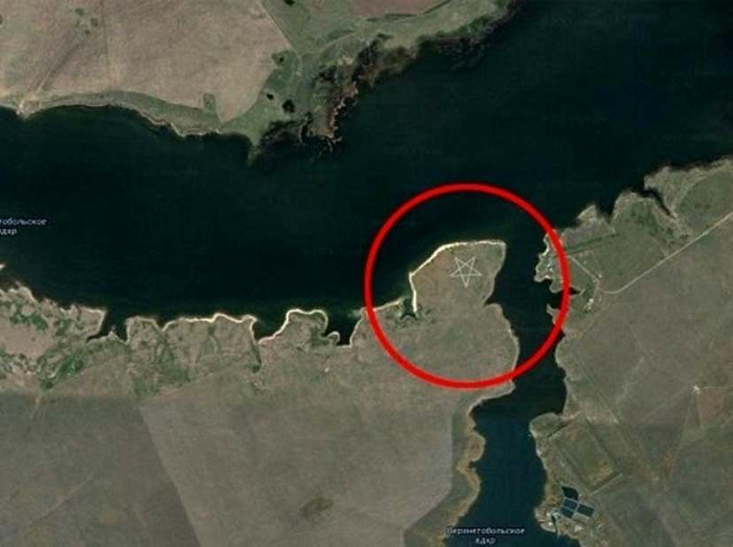
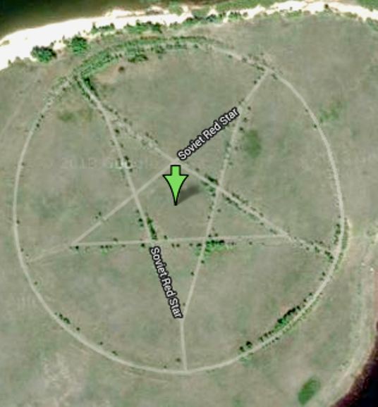
Is this some sort of massive devil worship? Not at all. The five-pointed star surrounded by a circle, located on the southern shore of the Upper Tobol Reservoir, shows up vividly on Google Maps. There are almost no other signs of human habitation in the area; the closest settlement is the city of Lisakovsk, about 12 miles (20 kilometers) to the east.
Though it's difficult to discern from an aerial photograph exactly what the Kazakh pentagram is, Emma Usmanova, an archaeologist with years of experience working in the Lisakovsk area, has an answer.
"It is the outline of a park made in the form of a star," Usmanova told LiveScience. The star was a popular symbol during the Soviet era (Kazakhstan was a part of the former Soviet Union until its dissolution in 1991). Stars were often used throughout the Soviet Union to decorate building facades, flags and monuments. (Indeed, several online comments had suggested the site is an abandoned Soviet-era campground.)
The star in the lakeside park is marked by roadways that are now lined with trees, Usmanova explained, which make the star shape even more distinct in aerial photos. Additional images of the site, now abandoned and overgrown with weeds, can be seen at englishrussia.com.
See more HERE
Human Lips?
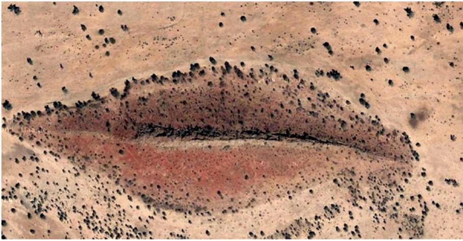
Although the resemblence to human lips is uncanny, in reality, this one is simply ust a hill formation located in Gharb, Darfur, Sudan. The human brain always looks for familiar patterns, and this is a perfect example.
Alien ship?
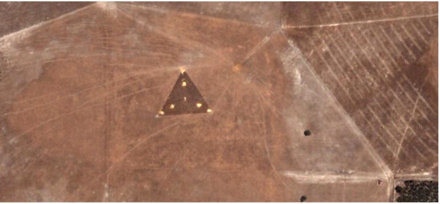
People are quick to point out that there is a strange triangle dotted with bright lights in the middle of the field. People who believe in aliens quickly stated that it was a UFO hovering above Earth. However, in reality this is a remote-controlled wind farm with three sets of wires forming a triangle and the middle part receives and transmits control signals. This is in Australia, at coordinates 30°30'38.44"S 115°22'56.03"E. The only A is Aussies, not Aliens.
Distressed bunny?
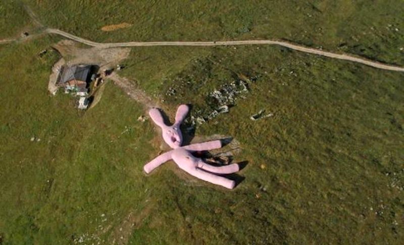
This one is probably the best-known odd image from Google Earth. Despite the rabbit’s fairly sinister appearance, there is actually nothing dark in its presence. The pink animal has in fact been knitted by a Viennese art collective called Gelitin and is an art installation. It is 200 feet long and is supposed to attract tourists. It can be found in the 5,000 foot high Colleto Fava Mountain in northern Italy’s Piedmont region. It is supposed to decompose by 2025.
Can this one be explained?
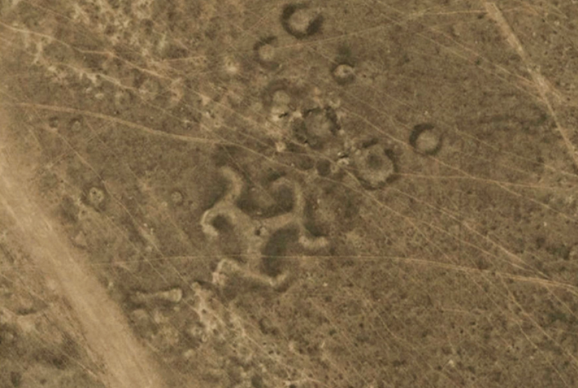
Okay, finally we have come to one where the origins cannot be completely explained. Over 50 geoglyphs were discovered across Northern Kazakhstan in Central Asia by researchers using Google Maps. Geoglyphs are "large designs created on the surface of the ground, usually made by arranging stones or sculpting the earth." They were found in numerous shapes and sizes in Kazakhstan.
Using a dating technique called optically stimulated luminescence (OSL), archaeologists recently found that the structures were constructed around 2,800 years ago, although a report published by another study suggested the geoglyphs date as far back as 8,000 years — which would make them older than any other such geoglyphs, including the famous Nazca Lines of Peru, which date to between 200 B.C. and A.D. 500. The purpose of these symbols is unknown.
Is that a car in the water?
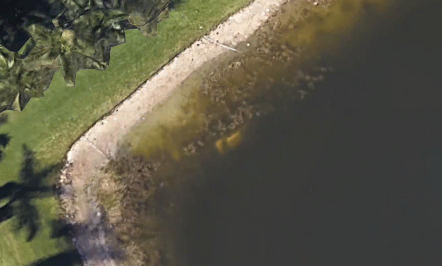
The answer is yes. While looking at satellite imagery provided in the app, a Google user discovered an image of a car in a pond in Wellington, Florida. When the car was excavated, the skeletal remains of a person was found inside.
Back on Nov. 7, 1997, 40-year-old William Moldt of Florida was reported missing. Nearly 23 years ago, Moldt called his girlfriend to let her know he was on his way home from a nightclub. He was never seen or heard from again...until this image revealed that Moldt had veered off the road and somehow landed in the pond.
When Moldt went missing more than two decades ago, the housing development was just beginning construction so the lawn area surrounding the pond did not exist.
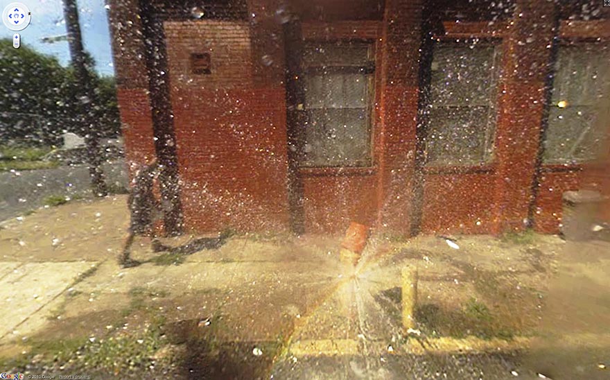
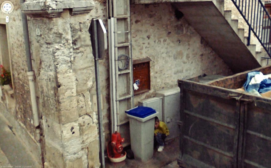
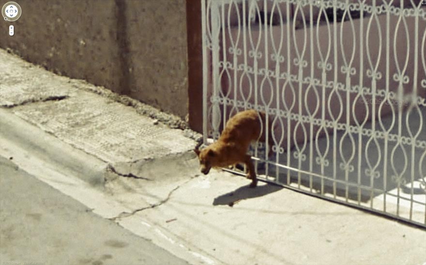
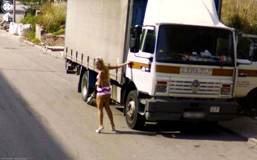
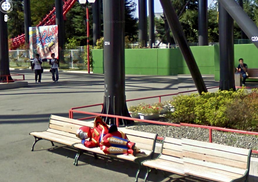
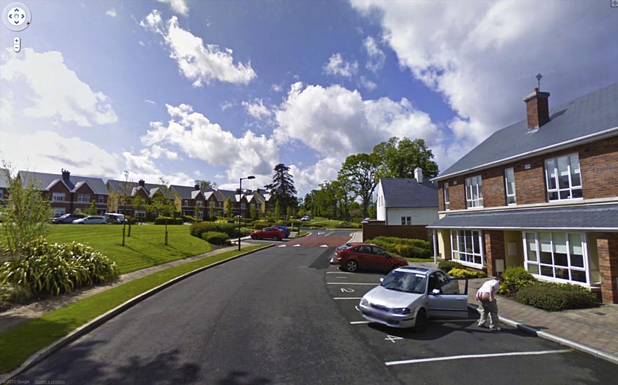
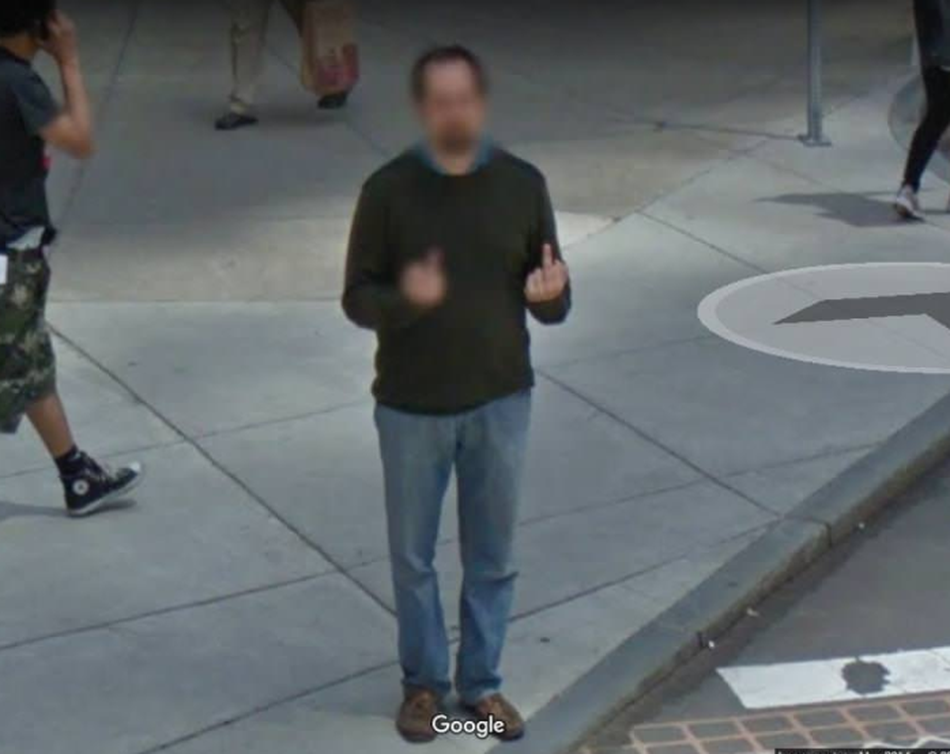
FROM GOOGLE STREET VIEW
Funny random photos taken by the traveling google cars.


Google Satellite -- How do they do it?
If you’ve spent any time on the internet, you’ve probably had a chance to use either Google Earth or Google Maps. Both of these tools allow you to see a satellite view of the Earth, and zoom right in to see your home from space. But is there a Google satellite to take these photographs?
Google doesn’t actually have a satellite of their own. Instead, they use images from a variety of sources and store them on their servers. These images come from NASA satellites, USGS aerial surveys, and satellite photos from commercial operators. Google has an exclusive contract with a company called GeoEye, which recently launched their GeoEye-1 satellite. This commercial satellite blasted off on September 6, 2008, and is capable of resolving images on the Earth down to a size of 0.41 meters.
So how can you use these images? The easiest tool to use is Google Maps. This is a web-based tool that lets you browse around satellite photos of the Earth. You can zoom in and out, and type in a specific address anywhere on Earth to go right there. It also has driving directions, and all kinds of features that you can turn on and off to give you more information – like local sightseeing highlights.
The other tool that Google has created is called Google Earth. Unlike Google Maps, you actually need to download Google Earth to your local computer; PC, Mac, Linux, and even on your iPhone. Once you have the application installed, you see a 3-D version of the Earth that you can spin around, zoom in and out. You can zero in to any spot on Earth and see the highest resolution images they have available. There’s also a big community of developers who have created additional views that you can install. This lets you see additional photographs, contour maps, etc.
See more HERE
You can track satellite debris
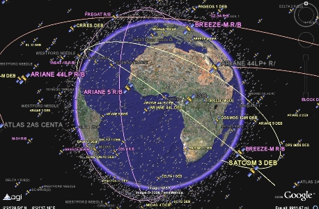
The United States Strategic Command keeps very close tabs on what is orbiting our planet and where they are at any given time, and now with the help of Google Earth, you can explore the satellites, plot their orbital trajectories and see just how crowded space can be.
Tracking space junk is paramount to all our activities in space. Every time we put a “useful” satellite into orbit – to service our communication needs, monitor the weather or spy on other countries – we are amplifying the growing space junk problem surrounding Earth. In February, I wrote a Universe Today article reporting on Google Earth’s ability to plot all known bits of space junk orbiting the Earth. I think it shocked many to see the problem in dazzling 3D. Now a new plug-in has been released detailing the positions of 13,000 alive and dead satellites being tracked by the US military.
At the end of last month, the danger of discarded satellite parts became all too real for the crew of the International Space Station. The Automated Transfer Vehicle (ATV) that boosted the station clear of passing debris from a disintegrated Russian satellite. According to officials, the ATV carried out a 5 minute burn, slowing the station and lowering its orbit by 1.5 km (1 mile). The chunk of Russian spy satellite was allowed to pass without incident.
Now you can see the space debris being carefully watched by the US and do some satellite tracking yourself. This new Google Earth plug-in (.kmz file for Google Earth) allows you not only to get information on the 13,000 objects tracked by the US Strategic Command, it also lets you plot their orbits. All the way from low Earth to geostationary orbits, you can access information about who launched the satellite, whether it is active or not, its launch date, mass and orbital information (apogee/perigee). By clicking “Display Trajectory in Fixed Frame” in the information panel that appears when you select the satellite, the orbital path is displayed. It is worth noting that this is the orbital trajectory in relation to the Earth’s rotation (or the “fixed frame”), so geostationary satellites will appear to have no orbital motion, as you’d expect.
See more HERE